Geography: Earth, people and places
Spootyfi learning pathway · Beginner to advanced
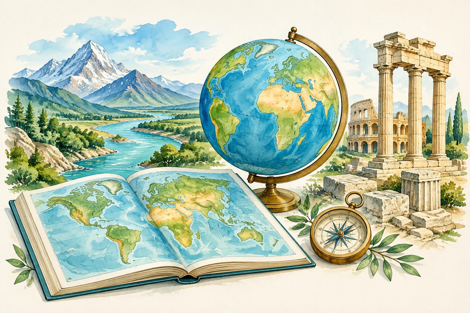
Ages 16+ · English · 7 suggested study hours · 3 levels
Read maps, understand landforms and climate, and analyse population, resources and sustainability.
- Use map coordinates and scale
- Explain physical systems
- Analyse human geography
Beginner · Lesson 1 of 3
Maps and coordinates
Latitude measures north or south of the Equator; longitude measures east or west of the Prime Meridian.
Practical activity
Locate the Equator and Prime Meridian on an atlas.
Beginner · Lesson 2 of 3
Map scale and projections
Scale relates map distance to real distance. Every flat projection distorts area, shape, distance or direction.
Practical activity
On a 1:100,000 map, calculate 3 cm as 3 km.
Beginner · Lesson 3 of 3
Landforms
Mountains, plateaus, plains, valleys and coastlines form through tectonics, erosion and deposition.
Practical activity
Explain how erosion changes a river valley.
Reference desk
- National Geographic Education concepts
- NOAA climate education
- USGS mapping resources
Original Spootyfi lessons and exercises; reference materials are not reproduced. Not affiliated with or endorsed by the reference providers. Course text is English; translations and expert editorial review are pending. Illustrations are conceptual.